

COMING SOON Abolishment: What is it and what is involved?
What is abolishing a service?
Abolishment of services (or supply abolishment) is the permanent removal and decommissioning of utility connections, such as electricity or natural gas, from a property.
Unlike a standard temporary disconnection (where the power or gas is simply switched off while the physical lines and meters remain active), abolishment means the utility company physically removes the equipment, meters, and service lines back to the main grid or street connection. (https://www.safework.sa.gov.au/industry/construction/abolishment-of-electricity-supply)
How to abolish each service:
Electricity Abolishment:
- Contact your electricity retailer to raise a service order request.
- For Energex areas, service line removal takes up to 20 business days in urban zones and costs around $551.29.
- For Ergon Energy areas, submit an online application via the Ergon Energy Service Portal or use the Ergon Retail Self-Service Form.
- Ensure clear and safe access to the switchboard and meter box.
Gas Abolishment:
- Contact Your Retailer: Reach out to your current gas retailer (e.g., Origin Energy or AGL) to request a permanent abolishment service order.
- Distributor Scheduling: Your retailer coordinates with your local gas distributor (such as AusNet Services, Jemena, or ATCO Australia), who removes the meter and caps the line. This typically takes between 3 to 20+ business days.
Why is abolishment important when relocating a house?
Protects historical buildings, traditional streetscapes, or pre-war architecture. Demolition, major facade changes, or moving an older home usually require strict council assessment. Please get into touch with your local council prior to considering relocation regarding heritage overlays as each council in QLD has specific requirements for heritage overlays and planning may be required.
How to check for overlays
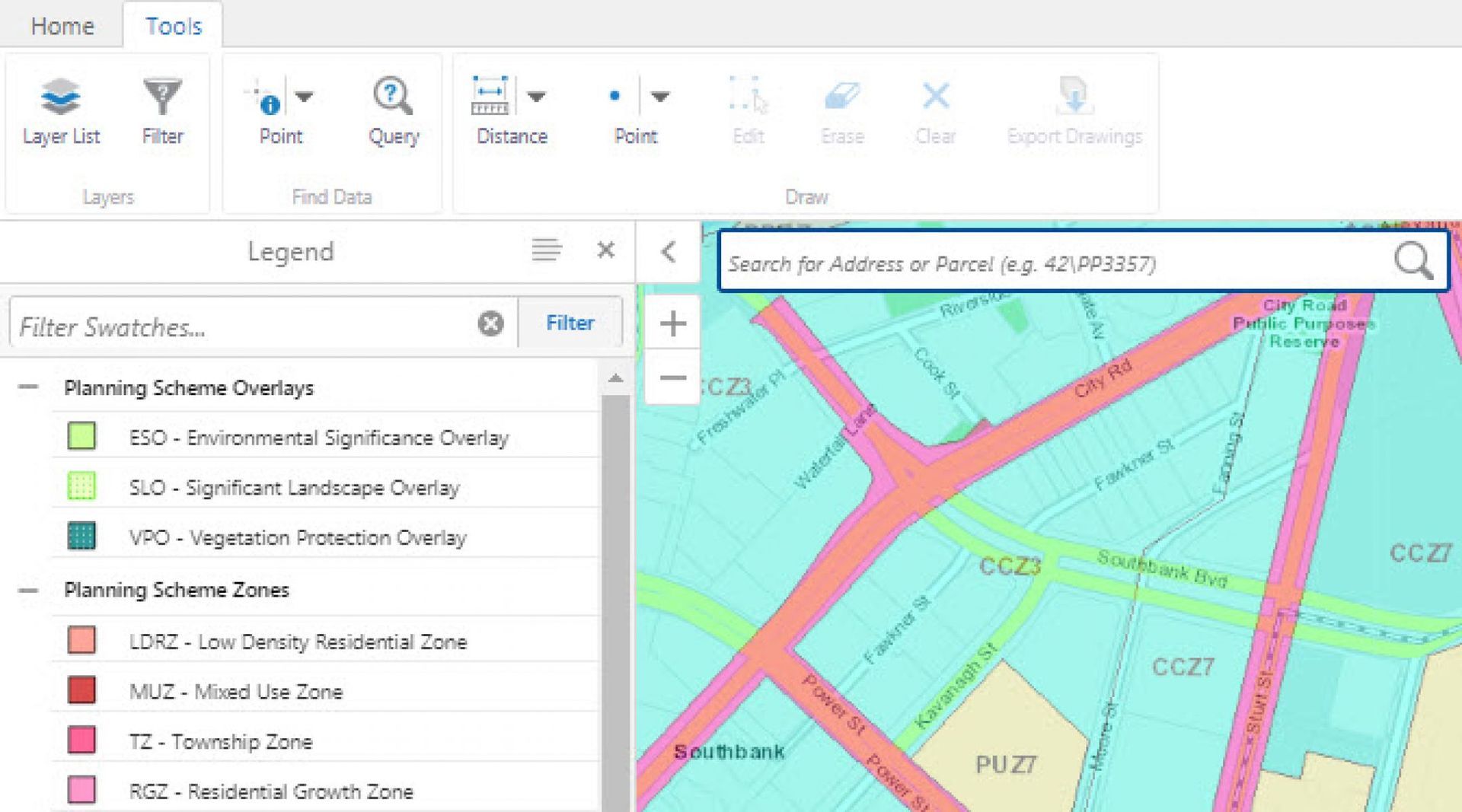
Most Queensland and NSW councils provide free online mapping tools that let you:
- Open the council's planning or ePlan mapping tool.
- Search the property by address or lot/plan number.
- Turn on relevant overlay layers (e.g. flood, bushfire, heritage).
- Check whether any overlays affect the property.
These maps are a useful starting point, but they are not a substitute for council assessment. Some tools show only broad risk categories, and not all allow direct links to individual properties. If you have trouble using a mapping tool or locating a property, contact the council's planning department for assistance.
For direct links to council mapping tools, see our 'Planning Scheme Mapping Tools' blog.